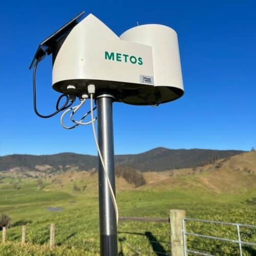
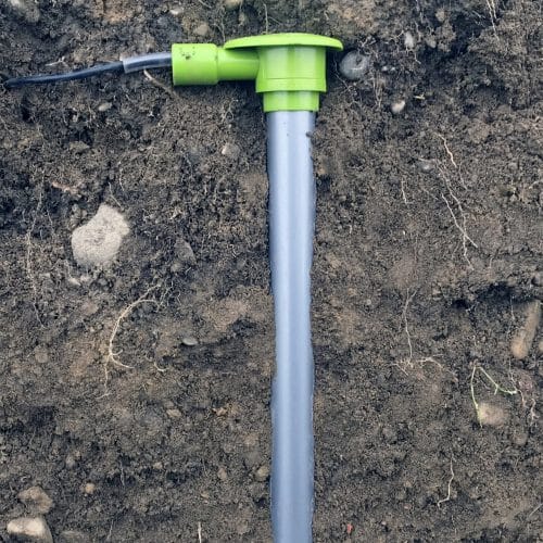
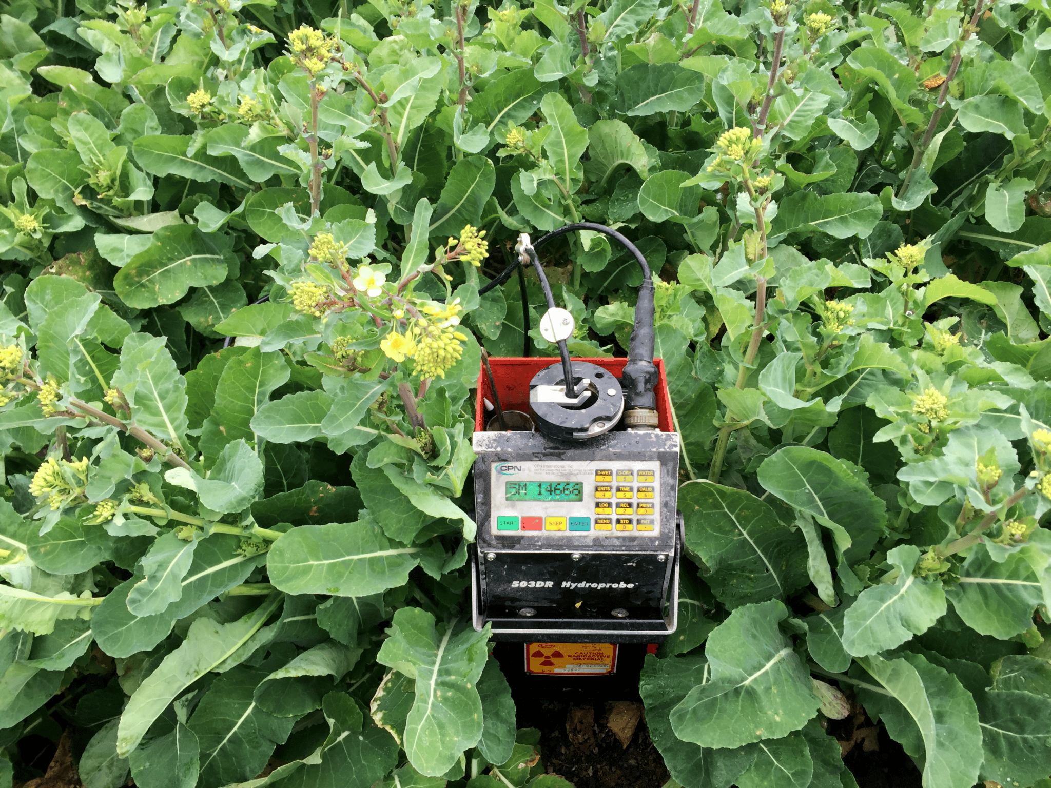
As farmers, you know that your soils area variable and where your ‘good bits’ are and your ‘poorer parts’, but do you know how variable they are? Using tools like S-maps, EM survey data, and google earth we can identify the sample sites required to develop an accurate water-holding capacity (WHC) assessment plan to determine just how much water they hold in different locations. Vantage NZ then use a Neutron Probe to accurately measure your soils water holding capacity at the predetermined sample sites. Using this information, we complete a report identifying the water holding capacities over the farm and give insights and recommendations from a management perspective.
Benefits:
Establish the soils actual water holding capacity
The data can be used to override S Map figures in Overseer
Useful tool for consents, audits and farm environment plans
Improved irrigation efficiency
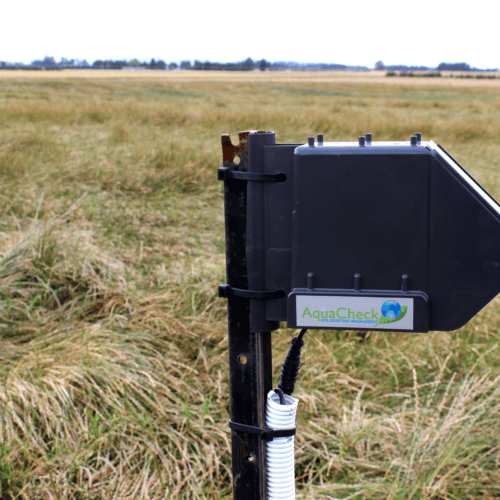
Identify best locations for soil moisture probes
Further ground truthing the EM survey
Can be used for application maps in VRI systems
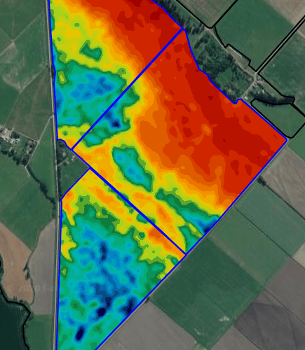
EM SOIL SURveying ground-truthing:
A WHC assessment of an EM survey take your survey one step further and is key for decision making around irrigation and effluent applications. This compares your EM survey data with the available water content of the soils. From here we identify whether the variability of the EM survey is linked to AW (available water) or other factors such as sodium content of the soil or compaction. We can produce a WHC map if you have a strong correlation between EM data and AW, which is when one of our consultants can meet with you to discuss in detail what the results mean for your farm.


