At Vantage NZ we offer more than just precision agriculture products and services; we provide farmers, agronomists, retailers, co-ops and local OEM dealers with precision agriculture expertise for the entire farm.
Our team has an extensive skillset in all areas of precision agriculture and is equipped to bring you best-in-class solutions, industry leading technical expertise, unparalleled customer service and support capabilities to your farm.
Vantage NZ, launched in 2020, brings together the precision ag skills and expertise of the Agri Optics and GPS Control Systems businesses to offer our customers throughout the breadth of New Zealand a more streamlined and all-encompassing precision ag approach.
Our Hardware Specialists, Precision Consultants and Precision Technicians possess the knowledge to help you with anything your farm throws at you. When your situation calls for the best, call your friends at Vantage NZ.
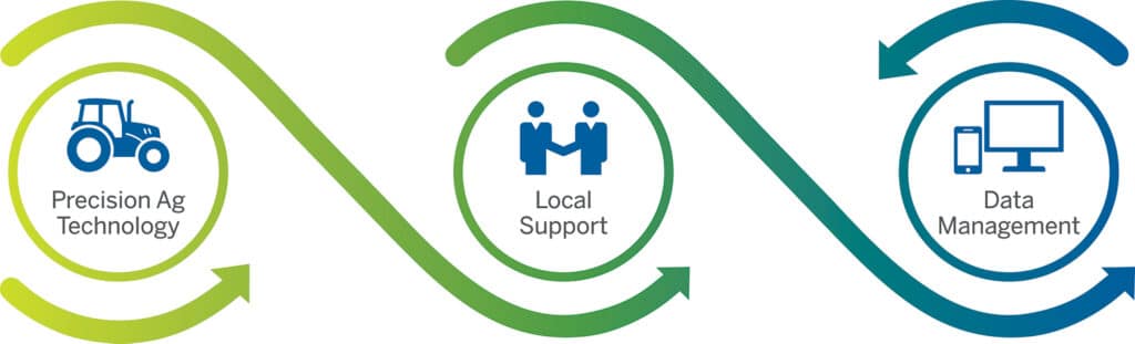
An integrated approach
Working together for a better future
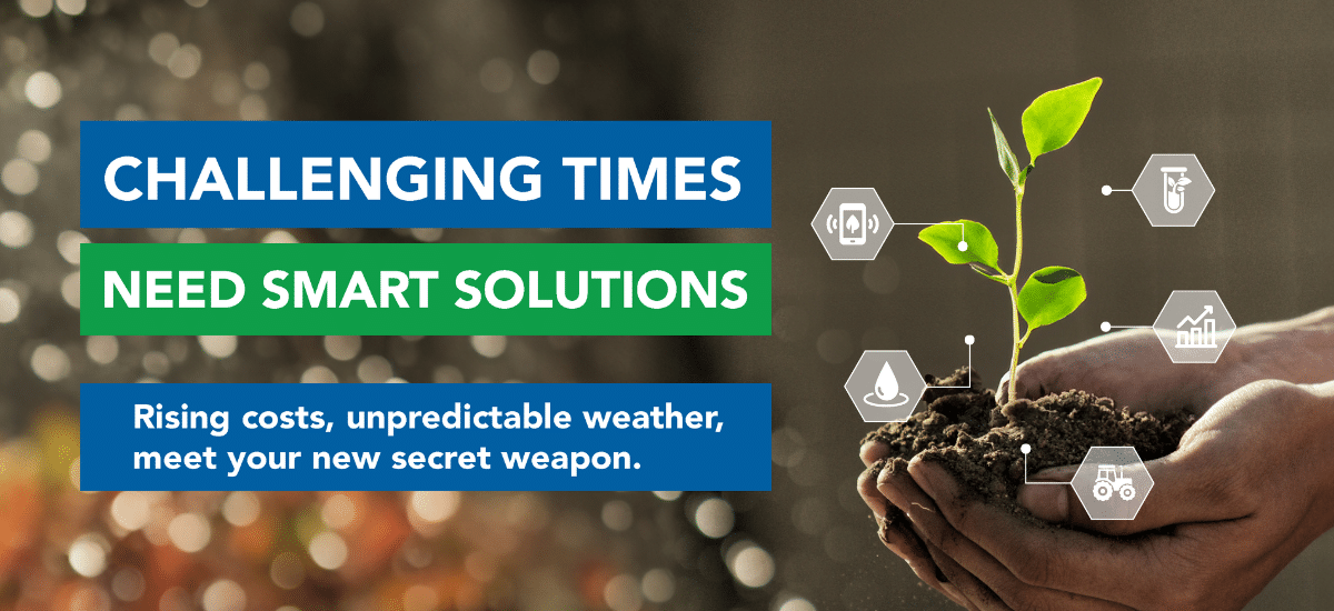
Whatever your type of land-based production – cropping, horticulture, viticulture or pasture-based farming – Vantage NZ offers a range of services that can guide you through your precision ag journey.
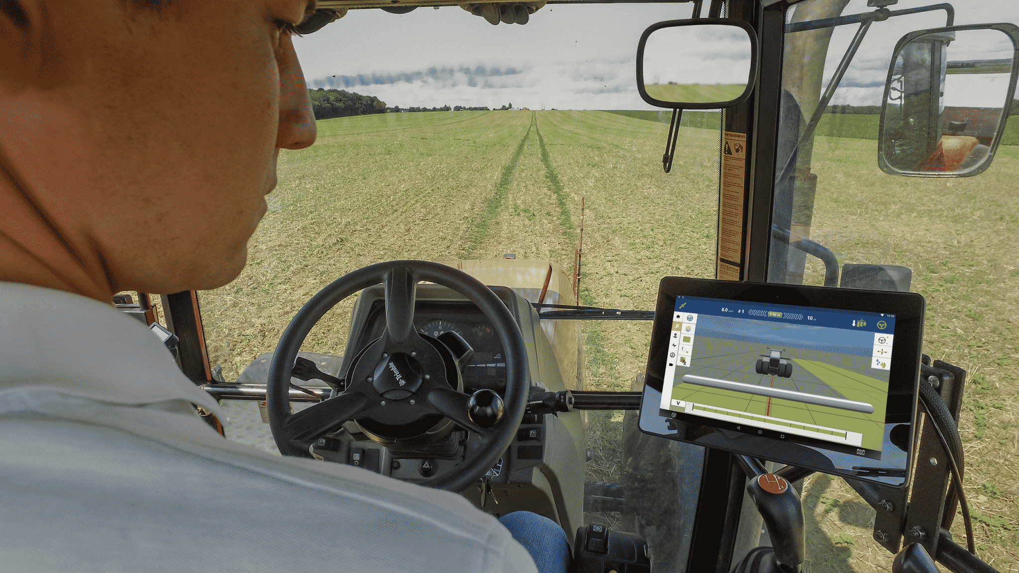
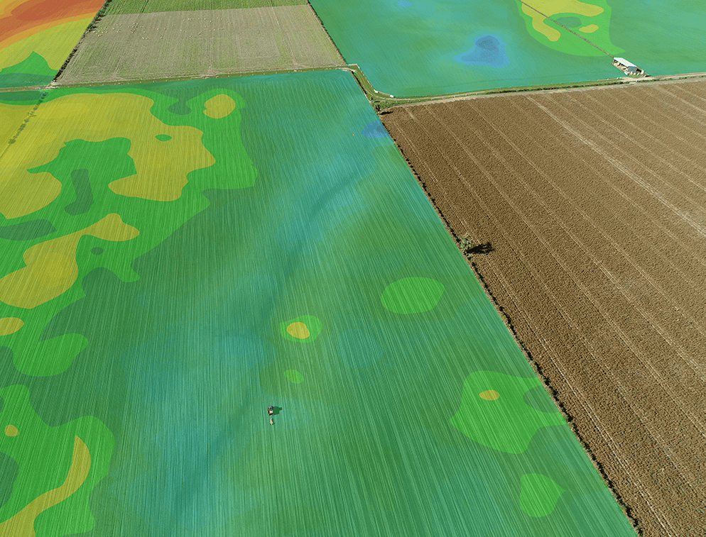
It’s all about collecting useful data and providing accurate analysis to produce valuable decisions, enabling you to make timely actions in the field to receive improved results. Our services aim to help you identify ways to improve productivity and reduce environmental impacts, unlocking the economic potential of your land through the use of tried and tested precision ag technology.
At Vantage NZ we tailor our services to meet your needs, whether it’s an individual paddock or a whole farm, a single service or a comprehensive precision farming strategy. We work alongside you to achieve real results.
As pioneers of precision agriculture in New Zealand we have a wealth of experience from small farming businesses to industry and research work, leading much of the work in the adoption of variable rate fertiliser and spatial soil mapping across New Zealand.
We use proven methods and technologies. Our close connection with New Zealand and global precision ag researchers ensures we are always providing the most up-to-date and relevant technologies and services.
From field to farm, from soil to sprayer, Vantage NZ has a range of solutions for your everyday farming activities. We have the expertise, technology and skills to deliver leading precision ag products and services tailored to your needs. We work alongside the agronomist, fertiliser or field rep, or direct with you the grower to achieve real environmental, profit and production gains through the implementation of precision ag technologies.
Vantage NZ is committed to providing you with the best precision ag solutions available globally. Through our partnerships with suppliers we ensure professional results every time.
We deliver real, measurable value to every client. By doing this Vantage NZ will continue to be NZ’s most trusted and respected precision ag service provider.
We provide high quality services and solutions. We will offer quality precision ag tools and services to enable our clients to make informed, financially sound, spatially based decisions.
We deliver honest advice. Vantage NZ will only recommend precision ag advice and solutions that will truly benefit our clients operation. If we think our precision ag solutions cannot help you make better decisions and improve your bottom-line we will be the first to let you know.


")